Fitjar
In order to do this hike you have to get out to the island Fonno with your own boat or kayak.
Location
Fonno, Fitjar Islands
Map
Stord - Fitjar 1:50.000.
Start and end point
Municipal quay at Fonno
Marking
Information board at the starting point. Marked and graded after the new national standard. Signs in all crosspaths.
Grading
Blue. Medium/average difficulty.
Difference in altitude
0 – 145 m. above sea level
Estimated time
1 hour (3,6 km)
Good advice
Some wet areas. Use proper shoes
Tourdescription
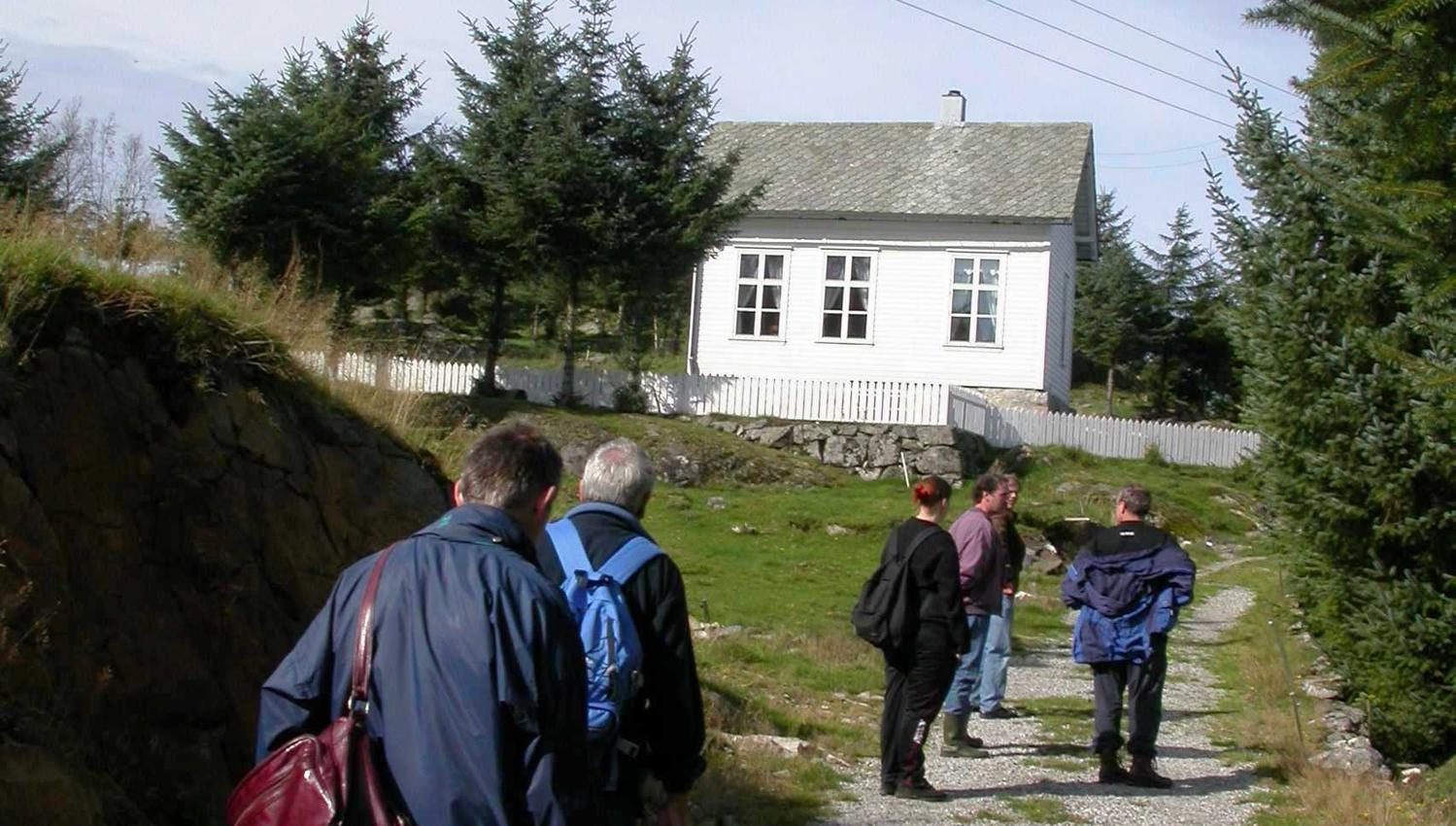
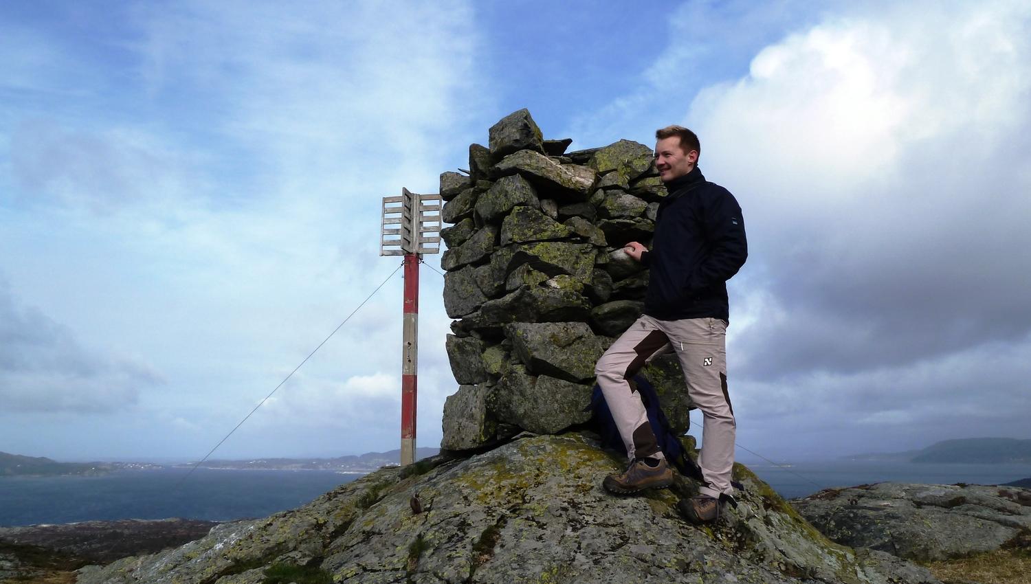
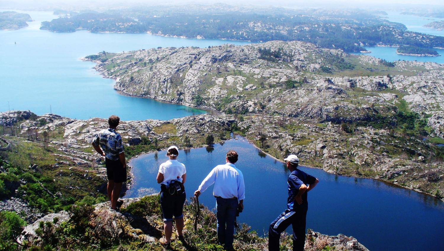
The hike starts at the quay, then upwards along a tractor road, through farmland, past cultural heritage sites, and up to the school building in Fonno. A directional signboard points north to the marked path up to the highest point of the island, the cairn at Ramsberget, 149 m asl. In the cairn there is a guest book, where you may write your name. Here is also a good view of The Fitjar islands + the municipality of Austevoll to the north, Fitjar and Stord to the south and Bømlo to the west. In Fonno farming is still a way of life, and both Aberdeen Angus, horses and an old brand of sheep may be seen.
Fuente: Region Sunnhordland