Beitostølen
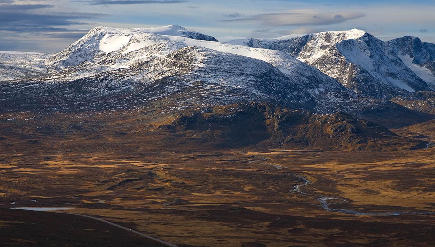
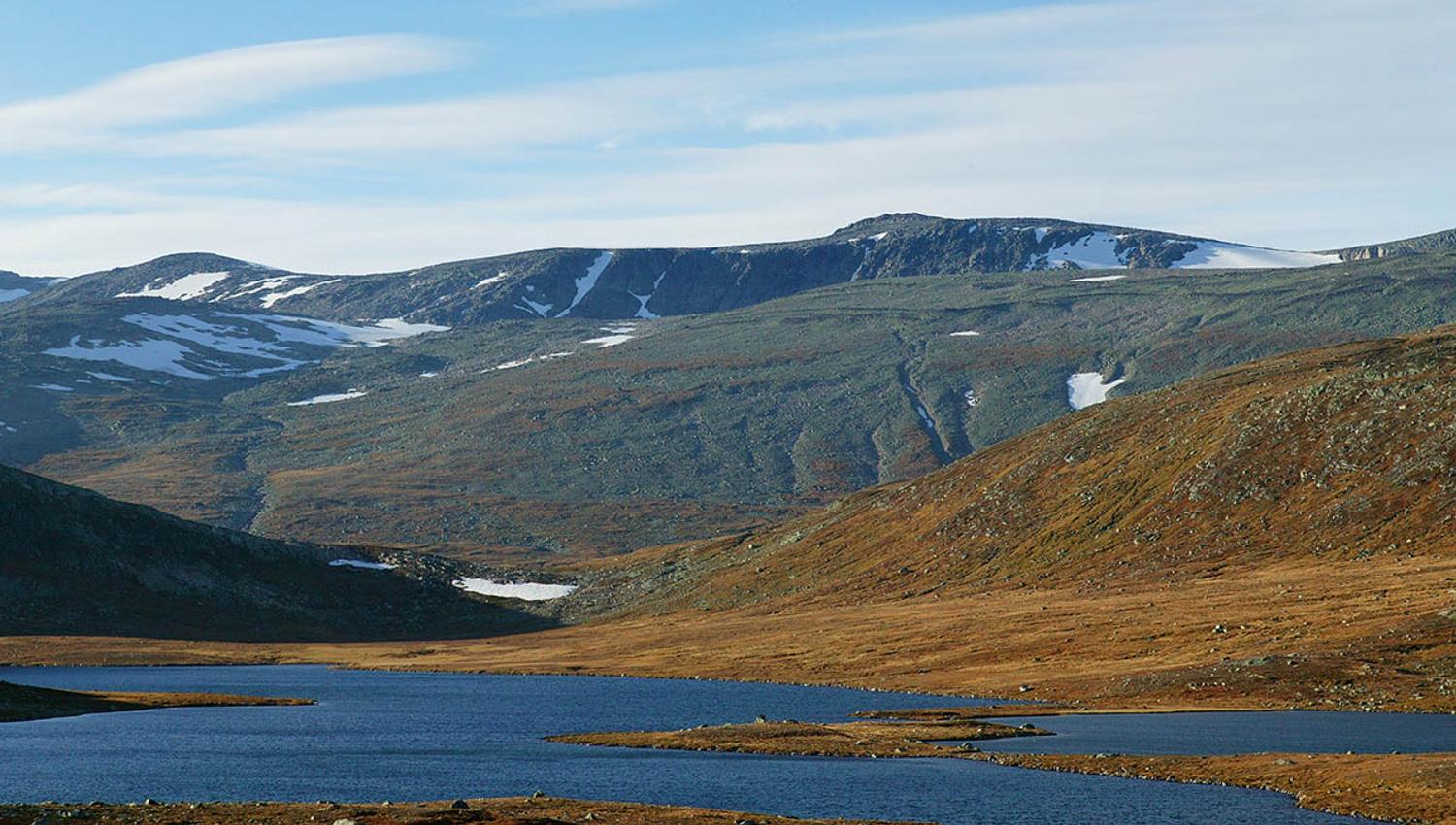
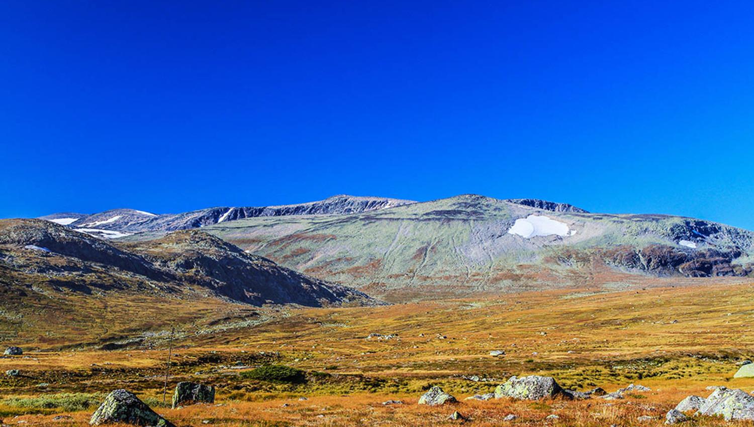
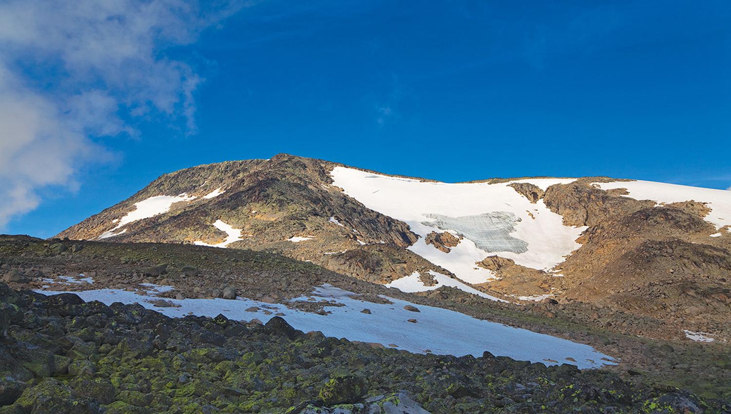
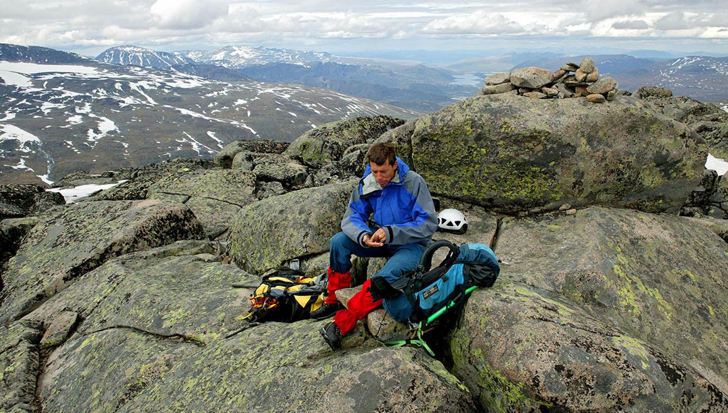
Rasletinden is one of the easiest 2000m peaks to climb and is also one of the few that has a marked route to the top.
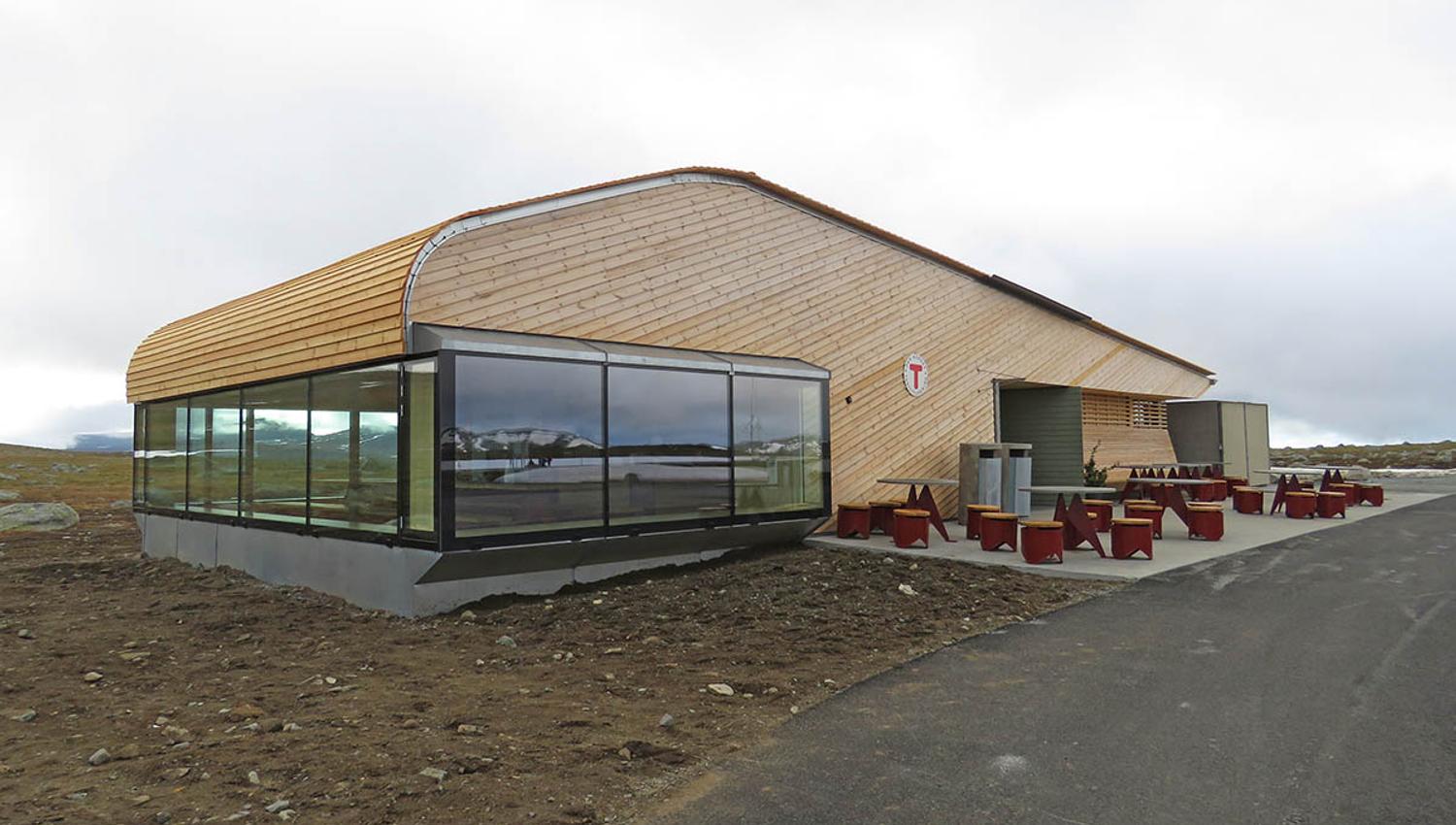
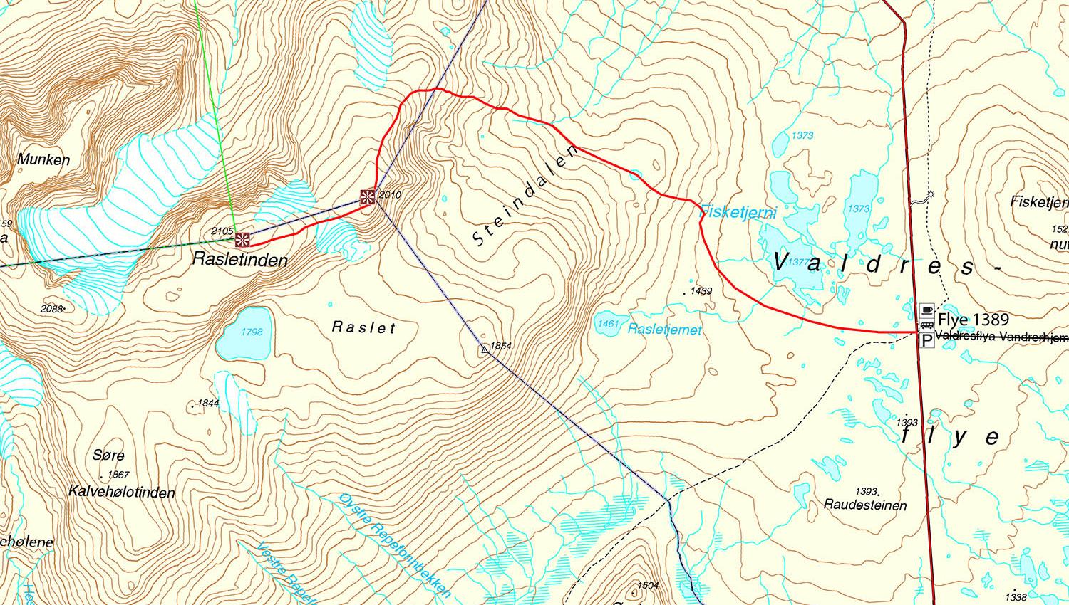
Follow the road Fv51 to the top of Valdresflye and park at Flye1389. On the other side of the road there is a large stone cairn and a sign towards Rasletinden. Follow the T-marked route climbing above Flye up to Steindalen, which then takes you up and around the back-side to the first peak Rasletinden East (2010 moh). From there continue west to the top. Follow the same route back on your return.
Distance: approx. 8.3 km one way
Duration: approx. 3.5 hrs. up
Elevation gain: approx. 725 meters
Suitable for children from approx. 8−10 years
GPS-coordinates starting point 32v 489937 6806235
GPS-coordinates summit 32v 483947 6806838
Fuente: Valdres Destinasjon