Østre Toten
The pilgrim trail from Tandsæter to Hoffsvangen
View or download a route map
(This is an extract of the Gudbrandsdalsleden vest pilgrims’ path map)
The pilgrims’ path through Østre Toten: from Tandsæter to Hoffsvangen, approx. 22 km
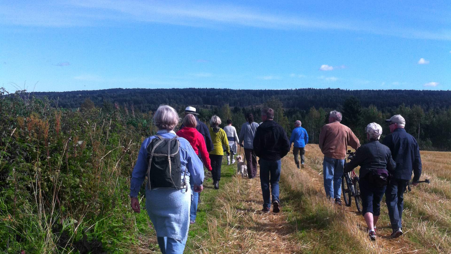
From Tandsæter, the Toten landscape reveals itself in all its glory. Leading along the ridges in this open cultural landscape through Kolbu and Lensbygda, the route offers spectacular views of the Toten villages. Dyste, Hol, and Glommen are spectacular vantage points along the way.
From Dyste, the route follows farm roads and leads across pastures, along forests and fields, past Kolbukameratene sports ground, and then along route 244 to Hol. It continues through idyllic tree-lined avenues and along lush fields to Kolbu church, and then turns east and follows public roads, farm roads, and fields to the former Smeby school. From Smeby, it continues along rural lanes past Syljulien garden centre to Tajelykkja, and follows country roads to Glommen and narrow lanes past Mellgarden and Skjefstad, down to Håjen. From there, you then get to experience the medieval route to Hoff church.
Enjoy your trip!
Cultural heritage, natural heritage, and other points of interest along the pilgrims’ path from Tandsæter to Hoffsvangen
1. Dyste: Had a medieval church built in wood until the 1780s. Today only a stone altar remains.
2. Engen monastery: Deaconess community from 1987.
3. Gårdløs: Iron Age burial mound, 60 metres north of the pilgrims’ path.
4. Hol: Two Iron Age burial mounds, 20 metres east of the pilgrims’ path
5. Kolbu church: The medieval church, Molstad, was located slightly to the west of today's church, which dates back to 1730. A rune stone has been discovered at the neighbouring farm, Presterud.
6. Syljulien: Five Iron Age burial mounds (one stone and four tumulus-type), 70 metres east of the pilgrims’ path.
7. Mellgarden: Iron Age burial mound, 10 metres east of the pilgrims’ path.
8. Risdalen
9. Majersteinen
10. Håjen bridge: Old ford; stone bridge built in 1861.
11. Vestre Evang: Extensive find from the Bronze and Iron Ages. Includes the brooch known as “Totennåla”.
12. By Lillo: Iron Age burial mound close to the path, and old place of execution to the west of the path.
13. Alfstad: Church foundations from medieval times. Several Iron Age burial mounds, and finds from the Stone and Bronze Ages.
14. Hoffsvangen – Hoff church: Pagan cult site linked to the first permanent settlement at Toten. Later a moot. The first church was built around 1021, and it then became Toten’s main place of worship throughout the Middle Ages. The present-day church is from around year 1200. There are some 15 stone and tumulus-type burial mounds in the Hoffsvangen area, and several of the Hoff rectory buildings are protected.
Next leg:
The pilgrims’ path from Hoff church to Smørvika at Kapp – 7 km
Last updated: 10/14/2022
Source: Visit Innlandet
The pilgrim trail from Tandsæter to Hoffsvangen